>
GPS Navigator. Recently, this device can be increasingly seen in the car and just in the hands of people. An indispensable thing for those who happened to be in an unfamiliar city. Navigator is able to determine its position with an accuracy of several meters. But in order for it to have practical meaning, you need to put a point on the map where you are at the moment. So which cards are best for navigators? Let's try to understand this issue.
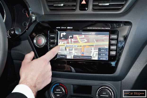
GPS Navigator - an indispensable thing in an unfamiliar city
What are the cards
First of all, it should be noted that in modern navigators two types of maps are used. The raster is in fact a detailed and high-quality satellite image. An example is Google maps. Their advantage is that the terrain is visible here. For fishermen, hunters, lovers of extreme tourism and just adoring to wander through remote villages is an excellent choice.
Второй тип – векторные карты. Для автомобилистов и горожан они гораздо удобнее растровых. Ведь на этих картах чётко выделены все нужные точки (заправки, гостиницы, рестораны). Дополнительное удобство ориентированию придаёт наличие названий улиц и номеров домов. Здесь прослеживается большое сходство с обычной автомобильной картой.Читать далее о том, как выбрать лучшие карты для GPS-навигатора -->
Largest Card Providers
European company Tele Atlas. On the maps of this company are based many navigation systems. Updates occur regularly. However, many places in Russia are not presented in sufficient detail - neither street names, nor house numbers. Yes, and their relevance leaves much to be desired.
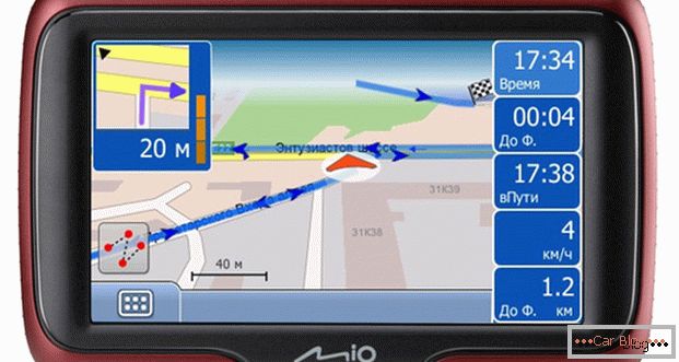
Map of Tele Atlas
Russia is much better represented on the maps of Roskartografiya. Our major cities in the European part are all represented. In the Asian part - the largest. But the bases are constantly replenished.
Some companies prefer not to use third-party products, and make their own cards. Not so rarely does it turn out that they are more relevant and better composed than the delights of the market’s “whales”.
Sometimes a large selection makes it more difficult than not having it at all. Quite a lot of navigation programs are represented on the market (maps are an integral part of them). Tell you about the most common of them.
СитиГид
This brand appeared on the market of navigation programs relatively recently, namely in 2003. By the way, he comes from Russia. Initially, CityGuide focused its efforts on St. Petersburg and Moscow. However, now a motorist with this program will not get lost in other regions of our immense Motherland. It is worth noting that the maps of both capitals and their regions are posted on the City Guide site and are open for free download. But if you want to use the navigator in another area - you have to spend a certain amount.
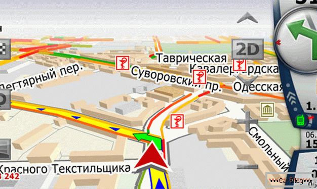
Карта СитиГид
In principle, the program provides a standard set of functions for navigation systems. However, it is worth noting that with the help of CityGid, you can calculate your route with traffic jams adjusted. Also taken into account are the time of day and the day of the week. Constant current updates allow motorists to feel very confident in major cities.
Yandex Navigator
The Yandex Navigator service is one of the most widely used features of Yandex. To use it will suit most models of modern smartphones. The user can choose between downloading the entire card at a time (this will save traffic) and the mode in which the device will load the necessary parts of the card as needed. There is a detailed map compiled on the basis of satellite photography.
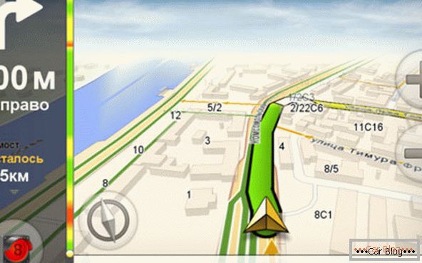
Карта Yandex Navigator
Yandex Navigator works closely with other services of the company. For example, with its help you can not only create a route and find the desired object on the map, but also see its photos posted by other users. The program has many settings, and the support of voice prompts to allow the driver not to be distracted from driving  Discounts for new cars! Profitable loan from 9.9% installments 0%
  adom.ru. A big plus in difficult road conditions.
Progorod
This domestic development has been developing intensively since 2009. Despite his youth, the software complex managed to establish itself in the eyes of users from the best side. But It is worth noting that Progorod has managed to develop its own detailed maps of only large cities. But areas and remote areas are much weaker.
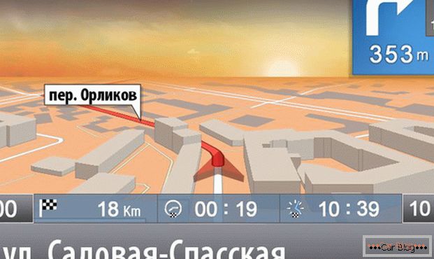
Map Progorod
As mentioned above, the Progorod uses its own maps, and does not buy them from state or other cartographers. The advantage of this solution is that although the coverage of the program is smaller than that of many competitors, the relevance and “freshness” of the company's cards is always at its best.
Autosputnik
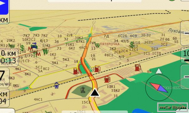
Map Autosputnik
The navigation system has gained great popularity due to the large number of objects displayed on the map. In this regard, the autosatellite undisputed leader. Perhaps, best maps for navigator trucker provides this system. A nice addition is the ability to learn about the presence of traffic jams, but here you will need the help of the provider.
Garmin
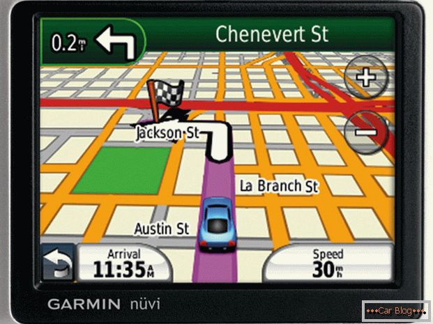
Map of Garmin
Navigators of this company use the Navikom system. The size of the cards is large, and it would seem that they should be very detailed. But here a trouble, painfully rarely they are updated. As a result, you risk losing orientation in unfamiliar terrain. So Navikom is far from the best choice for the user.
IGO
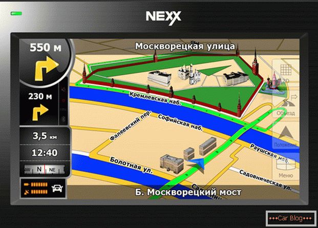
Map of IGO
Choose this navigation system is only those who are planning to go on a trip outside Russia. IGO uses Tele Atlas maps, so you definitely won't get lost in Europe. But Russia is represented far from the best way. Maps of our Motherland are mostly outdated and with large errors. Although in Moscow and St. Petersburg to navigate with the help of IGO is quite possible.
Navitel
Пожалуй, именно навигационная программа и карты Navitel наиболее распространены среди автолюбителей. Программа работает на 9 различных операционных системах, присутствует поддержка десятков языков. Картографическая база Navitel очень велика. Присутствуют подробные карты России, практически всех стран бывшего СССР и бывшего социалистического лагеря. Так что этой программой свободно можно пользоваться в большинстве стран Европы.
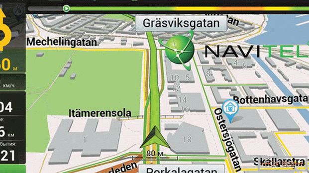
Карта Navitel
Navitel supports a large number of services. With their help, you can find a specific house number (and this, taking into account the capricious numbering system in many cities, is not so easy), do not fall under the traffic police radar, bypass traffic jam. What is gratifying, all this is provided free of charge. Although self-navigation software, of course, have to buy.
Из недостатков Navitel можно отметить не совсем дружелюбный интерфейс программы. А также большую нагрузку на процессор навигатора.
As you can see, the choice of maps and navigation programs on the Russian market is quite large. And this is good. After all, the user has the opportunity to find a card that most fully satisfy his needs. So look, rate, choose.


